Dzorwulu
Accra, Greater Accra
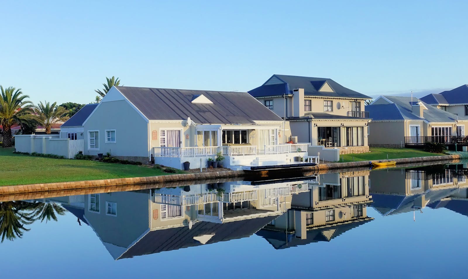
Quiet, affluent pocket between Airport Residential and Legon. Family homes, embassies, and private schools.
1
Active listings
0
For rent
1
For sale
Map & GIS layers
Toggle what matters to you
Flooding risk, walkability, transit, schools, and more — each scored 1–5 with sources you can audit.
Map insights
Toggle mapped overlays. Disabled rows mean the score exists, but no drawable features are mapped yet.
Lifestyle
Risks & utilities
- Mixed
Noise level
Road, nightlife, and industrial noise exposure
Score3.0 / 5Main ring road is busy during peak hours; interior closes are quiet.
Sources: Habivista neighbourhood guide - Mixed
Markets
Day markets, supermarkets, farmers' markets
Score3.0 / 53 mapped markets features inside the mapped neighbourhood boundary. Score uses weighted mapped count and nearest-feature distance. Distances are straight-line from the town centre.
Score model
- Mapped feature count60% · 3 features
- Nearest mapped feature40% · 0.5 km
As of May 2026Sources: OpenStreetMap - Good
Schools
International, private, and public school density
Score4.0 / 57 mapped schools features inside the mapped neighbourhood boundary. Score uses weighted mapped count and nearest-feature distance. Distances are straight-line from the town centre.
Score model
- Mapped feature count60% · 7 features
- Nearest mapped feature40% · 0.3 km
As of May 2026Sources: Habivista neighbourhood guide, OpenStreetMap - Excellent
Transit
Trotros, taxis, and commuter routes
Score5.0 / 512 mapped bus stops inside the mapped neighbourhood boundary. Transit summary still reflects broader trotro, taxi, and commuter-route access; the map score uses weighted bus-stop count and nearest-stop distance.
Score model
- Mapped feature count65% · 12 features
- Nearest mapped feature35% · 0.2 km
As of May 2026Sources: Habivista neighbourhood guide, OpenStreetMap - Low indicative risk
Flood risk
Rainy-season waterlogging and catchment zones
Score5.0 / 5Indicative, non-authoritative exposure layer from 1 mapped waterways/water features inside the mapped neighbourhood boundary, supported by 1 NASA EONET regional weather event within 75 km. Score uses weighted local water-feature density, nearest water-feature distance, and low-weight EONET support. Confirm individual properties during inspection.
Score model
- Mapped waterways and water features45% · 1 features
- Nearest mapped water feature40% · 0.8 km
- NASA EONET regional support15% · 1 events
As of May 2026Sources: OpenStreetMap, Habivista neighbourhood guide, NASA EONET, GDACS - Limited
Green space
Parks, tree cover, and open green areas
Score2.0 / 52 mapped green space features inside the mapped neighbourhood boundary. Score uses weighted mapped count and nearest-feature distance, plus approximate mapped green area. Distances are straight-line from the town centre.
Score model
- Mapped feature count35% · 2 features
- Nearest mapped feature40% · 0.6 km
- Mapped green area25% · 1.9 ha
As of May 2026Sources: OpenStreetMap - Good
Healthcare
Hospitals, clinics, pharmacies
Score4.0 / 57 mapped healthcare features inside the mapped neighbourhood boundary. Score uses weighted mapped count and nearest-feature distance. Distances are straight-line from the town centre.
Score model
- Mapped feature count60% · 7 features
- Nearest mapped feature40% · 0.3 km
As of May 2026Sources: OpenStreetMap, Ghana hospitals and health facilities geocoding workbook, Ghana Open Data health facilities CSV - Mixed
Walkability
How many daily trips you can do on foot
Score3.0 / 5Derived from transit score 3/5. Mostly car-based; trotros and taxis easy to hail on the main road. Uber and Bolt saturate the area.
Sources: Habivista neighbourhood guide - Excellent
Amenities
Shops, clinics, banks, and essentials within 10 min
Score5.0 / 55 named amenities within walking/short-drive range.
Sources: Habivista neighbourhood guide - Good
Power reliability
Grid uptime and outage frequency
Score4.0 / 5Stable grid; most compounds include standby generators.
Sources: Habivista neighbourhood guide
On the ground
Essentials
Safety context
●●●●●Quiet, affluent residential pocket between Airport Residential and Legon. Private security common; main thoroughfares well lit.
Schools nearby
Named institutions with walking / driving distance.
- Alpha Beta Christian College1.2 km
- Galaxy International School2.1 km
- DPS International2.6 km
What's nearby
Specific places people actually use.
- Fiesta Royale Hotel (1km)
- Marina Mall (3km)
- West Hills alternatives on Dzorwulu Crescent (0.5km)
- 37 Military Hospital (4km)
- Dzorwulu Market (0.8km)
Distance to landmarks
Straight-line distance from the centre of Dzorwulu. Drive times will differ with traffic.
- Accra Mall3.7 km
- 37 Military Hospital3.9 km
- Kotoka International Airport4.0 km
- University of Ghana (Legon)5.0 km
- Accra city centre (CBD)6.6 km
- Labadi Beach8.0 km
Typical prices in Dzorwulu
Market ranges based on current listings and recent transactions. GHS.
1 BR / month
$950 – $1,300
2 BR / month
$1,500 – $2,100
3 BR / month
$2,200 – $2,700
Avg. sale
GHS 720,000
Market report
Dzorwulu — Q2 2026
vs Q1 2026
Calculated from verified listings published this quarter. Trend arrows compare with the previous quarter.
Sale
Median sale price
GHS 720,000
—Average sale price
GHS 720,000
—Active listings
1
—Avg days on market
0 days
—Data derived from Habivista-verified listings in Dzorwulu. Trend arrows are directional — a single quarter isn't a forecast.
Top verified agents in Dzorwulu
Actively listing here with identity and agency verification complete.
- KA
Kofi Azunu
Azunus Realty Consult
- In Dzorwulu
- 1 listing
- Experience
- 7+ yrs
Compare nearby neighbourhoods
Shortlist a few options before committing to one area.
From the journal
Read more about Dzorwulu
Tourism, places to visit, local food, neighbourhood context, and moving-in experience.

Tourism
Tsenku Fall: local visitor guide
Dodowa Forest waterfall with rock scenery and a clear pool, useful as a short nature day trip from Accra.
10 May 2026

Tourism
Shai Hills Resource Reserve: local visitor guide
Savannah and hill reserve near Dodowa and Doryumu for short hikes, caves, wildlife viewing, and day trips from Accra.
10 May 2026
Tourism
Kokrobite Beach and AAMA: local visitor guide
Coastal community with beach bars, music culture, and the Academy of African Music and Arts nearby.
10 May 2026